

Severe storms are expected to fire across Arkansas this afternoon into the overnight hours.
Chances for severe weather will increase through the day as a storm system tracks from the southern Plains to the mid-Mississippi Valley, and drags a cold front into Arkansas. Ahead of the front, well above average temperatures and humid conditions will create a very unstable environment.
All modes of severe weather are in play this afternoon and overnight. Very large hail up to baseball size and wind gusts up to 80 mph are the main threats, with tornadoes also possible. Heavy downpours may lead to localized flash flooding as well.
On Thursday, storms will be mostly south of Arkansas but could impact far southern portions of the state. Damaging winds and large hail would be the main hazards.
Minor updates have been made by the National Weather Service in Little Rock, AR.
They include the addition of NW Arkansas to the Tornado Outlook and Overnight Timing Graphics.
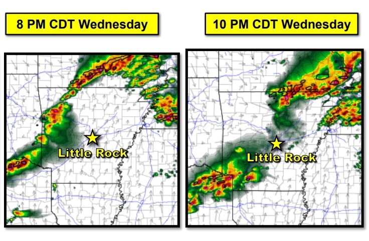
Storms are expected to initially develop by early evening across northern and western Arkansas. These storms will be capable of all severe weather hazards. The storms will gradually shift eastward through the evening hours with the very large hail threat becoming slightly lower. The damaging wind and isolated tornado threat will persist. Activity should make it east of the Mississippi River by daybreak Thursday.